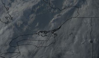
The cold front was just crossing Singleton Lake at sunset. The cold front was the standard veering wind shift accompanied by a drop in temperature and humidity. The thunderstorms did not develop as the severe weather watches expected. Weather can be like that even for the very best. The upper jet exit region was further to the southeast and the line of thunderstorms axis had already passed well to the east of Singleton with the upper support. A supercellular thunderstorm did indeed develop and there was a tornado casualty northeast of Montreal - the first in Canada form many years.
There was also a tropical storm within the computational grid of the numerical model that simulates the atmosphere. The energy and moisture associated with tropical storms typically influence the numerical calculations - and not in an good way...
I was interested in the cloud structures. The gravity waves in the shreds of cumulus riding the wedge of cold air, were perpendicular to the southwesterly winds that had howled all day. Meanwhile the streets of stratocumulus in the cold air were aligning with the northwesterly winds. The lake surfaces in the lee of the forest were turning to a reflective calm after a day of huge brown waves and white caps. Those calm surfaces reflected the bright sky.
It was also the longest day of the year - summer solstice. The sun would rise was at 5:18 am and not set until 20:52 pm yielding 15 hours and 34 minutes of daylight, more or less.
For
this and much more art, click on Pixels. Thank you.


